A new gym opens two streets over from an existing one. It does not need to reach everyone in the city. It needs to reach the few thousand people who could realistically walk, drive or bike to either front door. For a business like that, the most useful fact about a potential customer is not their age, their income bracket or what they searched for last week. It is simply: how close are they?
That is the entire premise of geo-targeting, serving ads based on where someone physically is, and it remains one of the most direct ways to connect a digital ad budget to an actual visit to a store.
What are the four ways to draw a geo-targeting zone?
“Geo-targeting” is really a small family of techniques, usually stacked together rather than used alone.
- Radius targeting, also called geofencing, draws a circle around a store or a competitor’s location and serves ads to anyone inside it. The radius might be a few hundred meters in a dense city center, or several kilometers once the area turns suburban.
- City or postal code targeting restricts delivery to a named administrative area. It works well when a store’s real catchment happens to line up neatly with a postcode or a municipal boundary.
- DMA and regional targeting groups larger areas together, often along the same lines as television markets, for brand campaigns that think in regions rather than streets.
- Hyperlocal targeting goes the other way, down to GPS or Bluetooth beacon precision, fine enough to target one floor of one shopping mall.
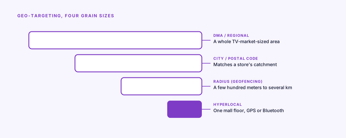
The same idea, four grain sizes: from a whole television market down to one floor of one mall.
Where does the location signal actually come from?
None of this works without a signal to read someone’s location from in the first place, and the available signals are not all equally trustworthy.
GPS, read through a mobile app the user has granted permission to, is the most accurate, down to a matter of meters. IP address geolocation needs no permission at all, which is also its weakness: it is estimating a city or neighborhood from a network address, and it can get it wrong, sometimes placing someone in the next town or the wrong side of a river. Wi-Fi and Bluetooth positioning handle the indoor case, useful inside a mall where GPS gets patchy. Carrier data sits above all of it, aggregated and anonymized, good for broad patterns rather than individual targeting.
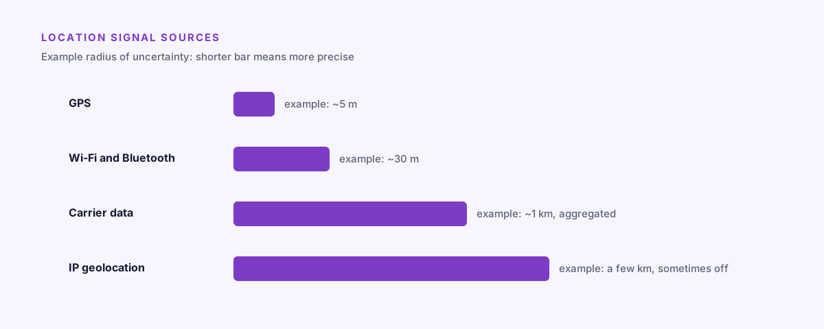
Not all location signals are equally precise. GPS narrows to meters, IP geolocation sometimes misses by a neighborhood.
A circle doesn’t know about the river. A radius is a guess that ignores roads, traffic and the one-way street that adds twenty minutes to the trip.
What do local retailers actually do with geo-targeting?
Drive-to-store campaigns are the most direct use: reach people within a reachable distance of a store and nudge them to come in, often layered with a time window, for example targeting people within 2 km of a supermarket between 4 and 7 in the evening on weekdays, when the drive home passes right by it.
Competitive conquesting flips the target to a rival’s address instead of your own. A new gym, a competing grocery chain or a rival electronics store can all reach people who are, at that exact moment, standing in or near a competitor’s location, weighing their options.
Event and seasonal targeting points at a place rather than a business: a local market, a stadium, a concert hall, reaching people who have shown up for one specific reason at one specific time.

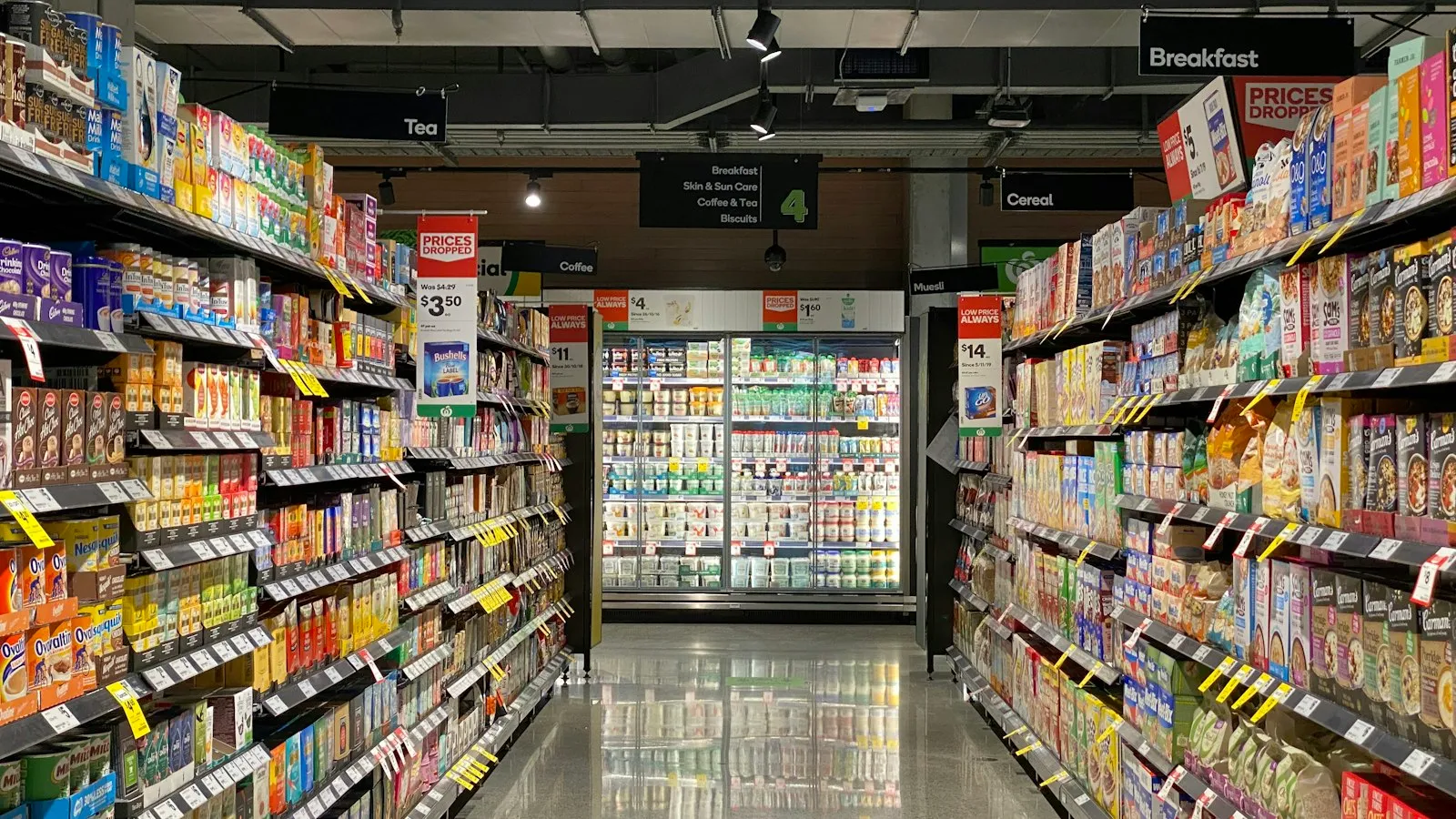
The kind of street geo-targeting is built for: a cluster of small, specific, walkable businesses.
Footfall attribution, also called store visit measurement, tries to close the loop: comparing visit rates between people exposed to an ad and a control group who were not. No method here is perfectly precise, but it gets closer to a real in-store outcome than almost any other metric available to a local advertiser. Scaled across dozens of stores at once, this is exactly the coordination problem covered in running one campaign across many local stores.
Where is the privacy line?
Location is sensitive personal data under essentially every privacy framework in use today, which means none of this works on good faith alone. It requires explicit consent inside the app collecting GPS data, compliance with regulations like GDPR and CCPA, and a data retention policy that can actually be explained to someone who asks. A reputable location data provider should be able to show its compliance posture on request. Advertisers vetting their supply chain should expect to ask for it.
How does geo-targeting stack with everything else?
Geo-targeting rarely runs alone. Time-of-day and day-of-week constraints line delivery up with store hours or the moments people are actually in buying mode. Demographic, behavioral or first-party audience segments narrow a geographic area down to the subset that matters commercially. And creative personalization, mentioning the user’s city, their nearest store, a local promotion, makes the ad itself feel like it was written for exactly where the reader is standing, the same personalization retailers are starting to sell directly as media space in retail media networks.
FAQ
What’s the difference between geo-targeting and geofencing?
Geo-targeting is the general practice of serving ads by location. Geofencing is one technique inside it: drawing a radius around a specific point, like a store or a competitor, and triggering ads to anyone who enters it.
How accurate is geo-targeting?
Accuracy depends on the signal. GPS narrows to a few meters when an app has permission to read it, while IP-based geolocation only estimates a city or neighborhood and can be off by a river or a town.
Does geo-targeting require user consent?
Yes. Location counts as sensitive personal data under frameworks like GDPR and CCPA, so it needs explicit consent in the collecting app plus a data retention policy that can be explained on request.
Why does a drive-time zone work better than a radius for a store?
A radius draws a circle that ignores roads, rivers and traffic, so it includes people who could never actually reach the store and excludes some who could. A drive-time zone is built from real driving time instead.
How Arago helps
Arago’s Map tool draws targeting zones around real driving time rather than a flat radius: a drive-time zone around each store, built directly in Map or imported as GeoJSON, so the zone reflects how far someone is actually willing to travel rather than a circle that has never seen the local roads. Each zone becomes its own line item in the DSP, with its own budget and its own ad, the same pattern covered in one line item per store, and campaigns run free, with no contract and no minimum spend. For a closer look at why a drive-time zone beats a plain radius, see drive-time zones vs. radius targeting.
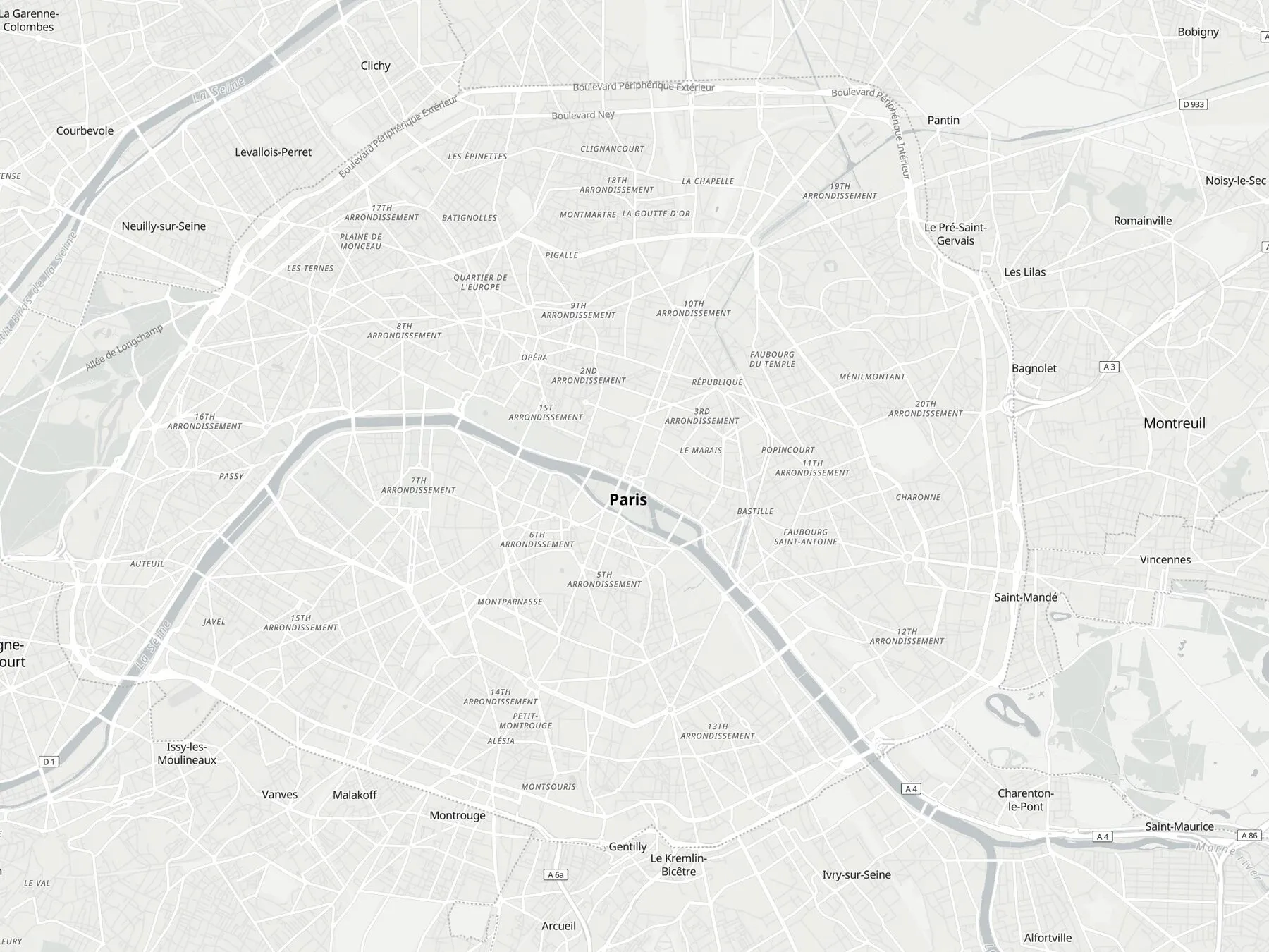
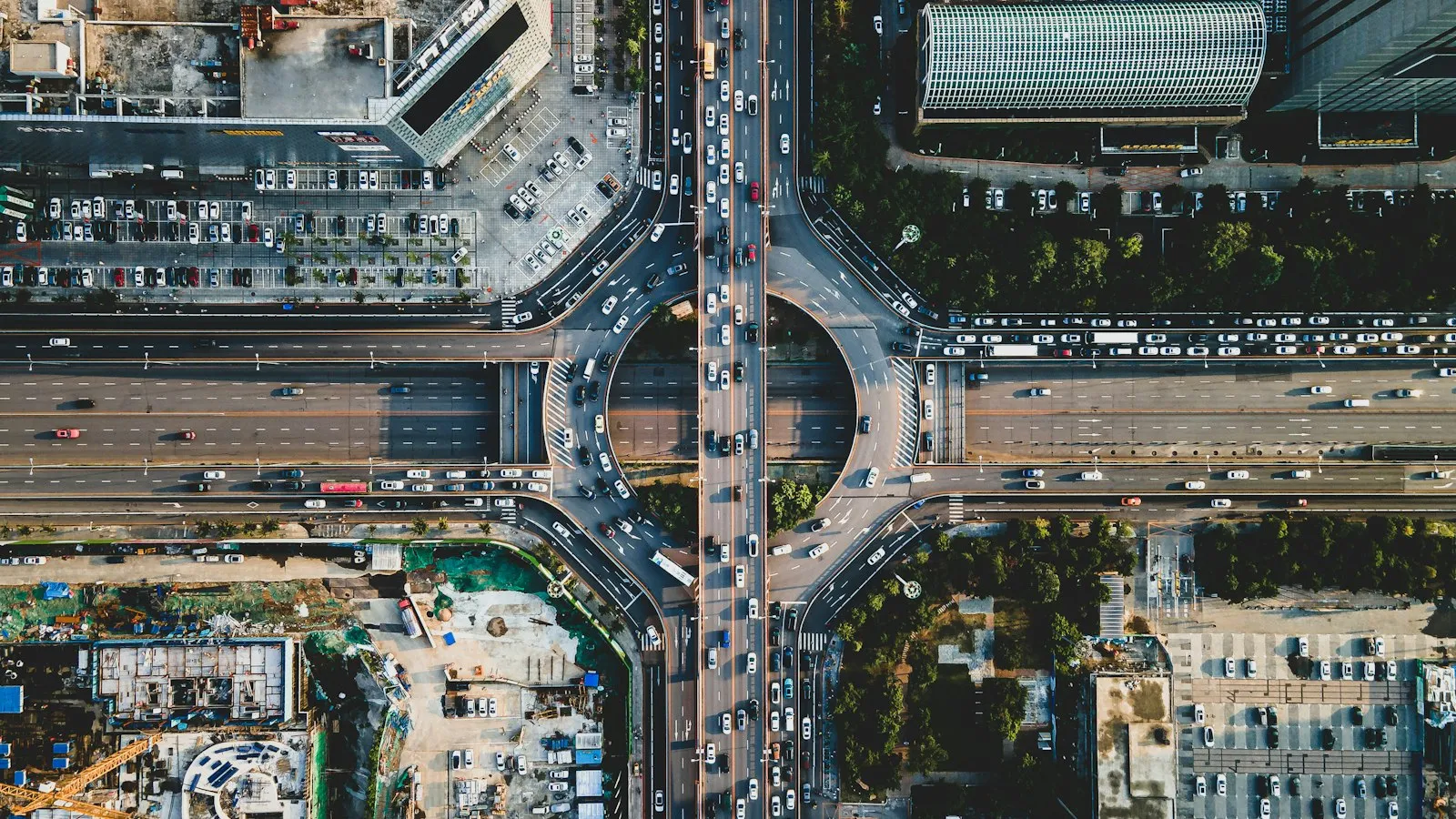
The raw material for a drive-time zone: the real streets, bridges and ring roads around a store, not a circle drawn over them.